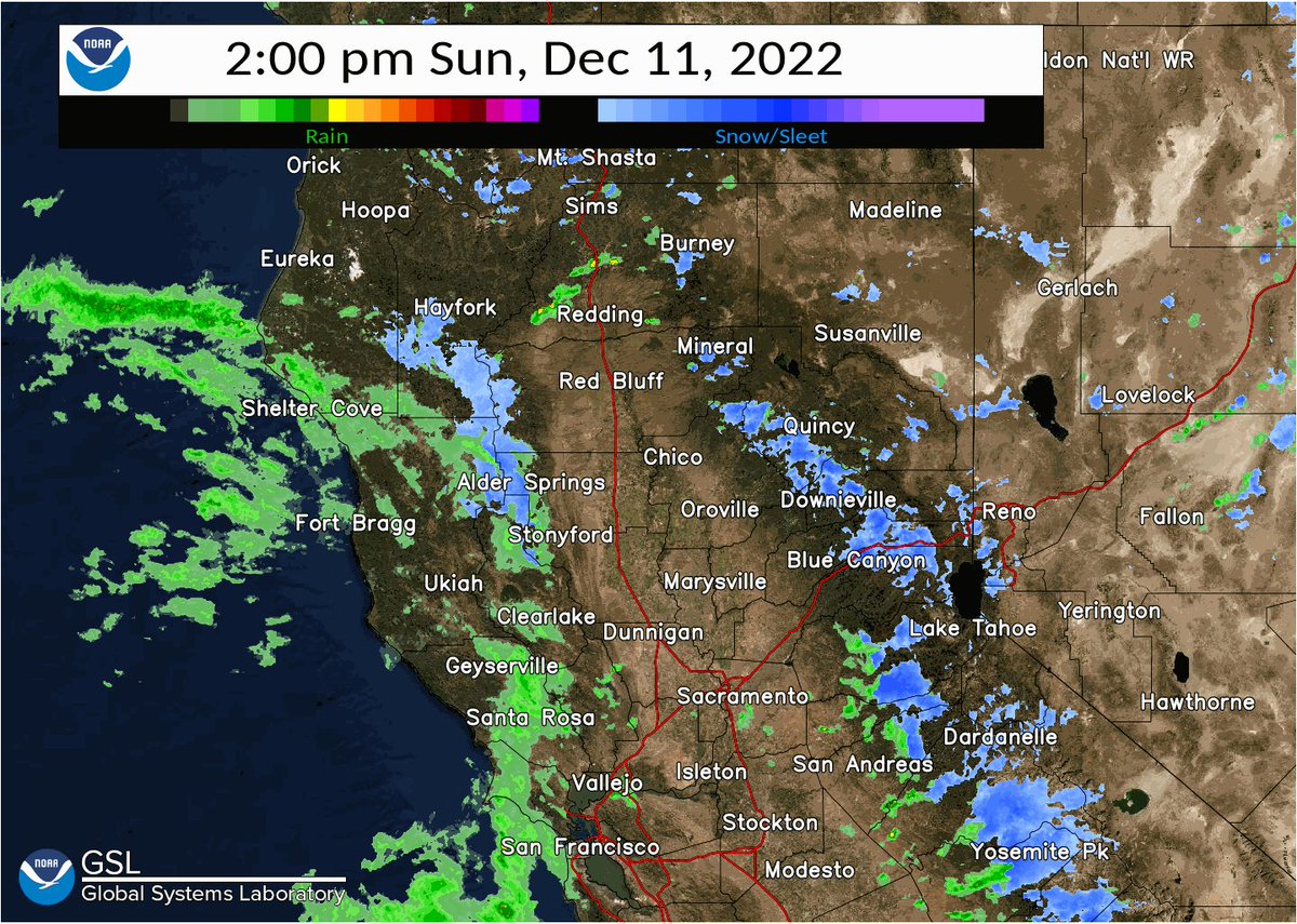
Doppler Radar Sacramento CA: Understanding Weather Patterns and Forecasts
Sacramento, CA, located in the heart of California’s Central Valley, experiences a diverse range of weather conditions throughout the year. From hot, dry summers to cool, wet winters, understanding these patterns is crucial for residents, businesses, and emergency services. One of the most vital tools used to monitor and predict weather in the Sacramento region is Doppler radar. This article delves into the significance of Doppler radar in Sacramento, CA, exploring how it works, its applications, and its impact on daily life.
What is Doppler Radar?
Doppler radar is an advanced weather surveillance technology that utilizes the Doppler effect to measure the velocity of objects, such as raindrops, hail, or snow, moving toward or away from the radar. Unlike traditional radar systems that only detect the presence and intensity of precipitation, Doppler radar provides valuable information about the speed and direction of movement within a storm. This allows meteorologists to more accurately predict the development, intensity, and path of severe weather events.
How Doppler Radar Works
The basic principle behind Doppler radar involves emitting a radio wave signal and then analyzing the reflected signal. When the radio waves encounter precipitation, some of the energy is scattered back to the radar. By measuring the change in frequency of the returned signal (the Doppler shift), the radar can determine the velocity of the precipitation. A positive Doppler shift indicates movement toward the radar, while a negative shift indicates movement away from the radar. This information is then processed and displayed on weather maps, allowing meteorologists to visualize the wind patterns and storm structure.
Doppler Radar Applications in Sacramento, CA
Doppler radar plays a critical role in weather forecasting and monitoring in the Sacramento region. Its applications span various sectors, including public safety, agriculture, transportation, and recreation.
Severe Weather Monitoring
Sacramento is prone to various types of severe weather, including thunderstorms, heavy rainfall, and occasionally, even tornadoes. Doppler radar is instrumental in detecting and tracking these events, providing early warnings to the public. By monitoring the velocity and intensity of storms, meteorologists can issue timely alerts for flash floods, strong winds, and other hazardous conditions. This allows residents to take necessary precautions to protect themselves and their property. [See also: Sacramento Weather Alerts]
Flood Prediction
The Sacramento area is particularly vulnerable to flooding due to its location near the Sacramento and American Rivers. Doppler radar data, combined with hydrological models, helps in predicting the potential for river flooding and urban flooding. By accurately estimating rainfall amounts and intensity, authorities can assess the risk of flooding and implement appropriate measures, such as levee reinforcement and evacuation plans.
Agricultural Planning
Agriculture is a major industry in the Sacramento Valley. Farmers rely on accurate weather forecasts to make informed decisions about planting, irrigation, and harvesting. Doppler radar provides valuable information about precipitation patterns, allowing farmers to optimize their operations and minimize the risk of crop damage from severe weather. [See also: Sacramento Valley Farming Practices]
Transportation Safety
Safe transportation is essential for the Sacramento region, which serves as a major transportation hub for Northern California. Doppler radar helps in monitoring weather conditions that can impact travel, such as heavy rain, fog, and strong winds. This information is used by transportation agencies to issue advisories and warnings to drivers, pilots, and other transportation professionals, helping to prevent accidents and delays. The Sacramento International Airport (SMF) also utilizes Doppler radar to ensure safe take-offs and landings.
Recreational Activities
Sacramento offers a wide range of outdoor recreational opportunities, including hiking, boating, and fishing. Doppler radar helps residents and visitors plan their activities by providing accurate weather forecasts. This allows them to avoid potentially dangerous conditions and enjoy their time outdoors safely. Knowing when a storm is approaching can make all the difference in enjoying a day on the Sacramento River.
Limitations of Doppler Radar
While Doppler radar is a powerful tool, it is important to acknowledge its limitations. The accuracy of Doppler radar data can be affected by factors such as terrain, atmospheric conditions, and the distance from the radar site. Additionally, Doppler radar may not always be able to detect small-scale weather phenomena, such as weak tornadoes or localized heavy rainfall. It is crucial to use Doppler radar data in conjunction with other weather information sources, such as surface observations and satellite imagery, to obtain a comprehensive understanding of weather conditions.
Future of Doppler Radar in Sacramento
The technology behind Doppler radar is constantly evolving. Advancements in signal processing, data analysis, and radar design are leading to improved accuracy and resolution. In the future, Doppler radar systems may be able to provide even more detailed information about weather patterns, allowing for more precise forecasts and earlier warnings. Dual-polarization radar, for instance, provides additional information about the size and shape of precipitation particles, which can improve the accuracy of rainfall estimates and identify different types of precipitation. [See also: Advanced Weather Forecasting Techniques]
The National Weather Service (NWS) operates several Doppler radar sites across California, including one near Sacramento. These radars are part of a nationwide network that provides comprehensive weather coverage for the United States. The NWS continuously upgrades and maintains its radar infrastructure to ensure the accuracy and reliability of weather forecasts.
Accessing Doppler Radar Information in Sacramento, CA
Residents of Sacramento can access Doppler radar information through various sources, including:
- National Weather Service (NWS) Website: The NWS website provides real-time Doppler radar imagery, forecasts, and warnings for the Sacramento area.
- Weather Apps: Many weather apps, such as AccuWeather, The Weather Channel, and local news apps, offer Doppler radar maps and alerts.
- Local News Channels: Sacramento’s local news channels provide weather reports that incorporate Doppler radar data.
- Online Weather Websites: Numerous online weather websites offer interactive Doppler radar maps and forecasts.
Conclusion
Doppler radar in Sacramento, CA, is an indispensable tool for monitoring and predicting weather conditions. Its ability to detect the velocity and intensity of precipitation makes it invaluable for severe weather monitoring, flood prediction, agricultural planning, transportation safety, and recreational activities. While Doppler radar has limitations, ongoing advancements in technology are leading to improved accuracy and resolution. By understanding how Doppler radar works and how to access its information, residents of Sacramento can stay informed about weather conditions and take necessary precautions to protect themselves and their property. The reliable forecasts provided thanks to Doppler radar contribute significantly to the safety and well-being of the Sacramento community.
